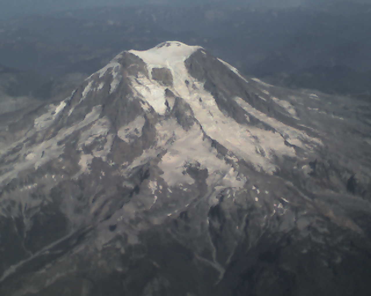
The view from the airplane window
Sep 14th, 2007 by craig
On my trip to Reno this week, just after we took off from Seattle, this was the view out my window (it doesn’t show up so well, but the bottom was very green so the snow and rocks were very striking):

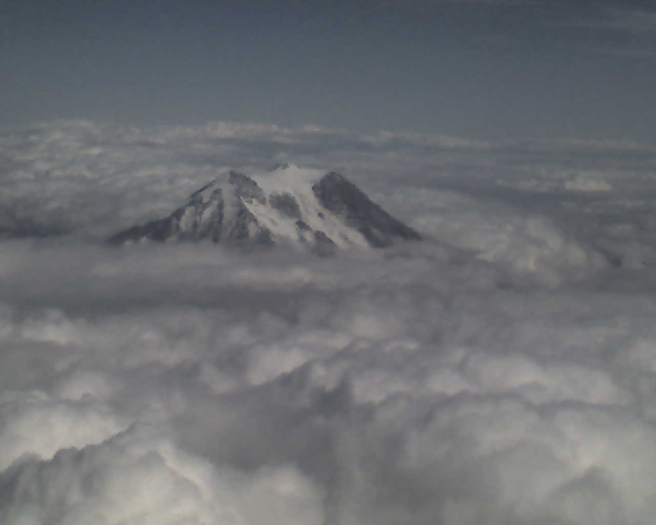
Ok, here’s the same view while flying to LA this week. The clouds are back!


Very cool. I think flying in and out of Seattle provides one of the most beautiful views ever, between the lakes, forests, ocean, mountains and volcanic peaks…. incredible stuff. At least when it isn’t covered in clouds 🙂
Nice. 🙂 Rainier is a TALL mountain. Nearly 15,000 feet. It doesn’t seem that tall because the base is so broad. But it’s a cool mountain.
So, some trivia for you… There are 21 peaks that are over 14,000 feet in Alaska. Outside of Alaska, there are only 4 mountains in the US taller than Rainer. All of the mountains taller than 14,000 feet (there are 70 of them in the continental US) are in either California or Colorado. I’d have thought Montana would have a few of those, but the tallest in Montana is Granite Peak at 12,800.
Oh, one other bit of trivia. The tallest peak on Australia? Kosciusko, at 7,310.
If you were going to measure a mountain from base to top, did you know that Mauna Kea on Hawaii’s Big Island is the tallest mountain in the world? Since its base is located on the seafloor some 20,000 ft beneath the surface of the Pacific Ocean, bringing its total height to well over 33,000 ft
The view flying in and out of Seattle is usually pretty great, often even when it is cloudy. Sometimes you come out of the clouds and there’s the top part of the mountains towering over the cloud cover.
Kris and I realized the other day that most of the tallest mountains are in Asia and some get to that 30,000 foot mark, which is typically the height I’m flying at. Let me tell you, looking down from 30,000 feet you realize it’s a long, long way up there.
Even so, one of the things that always fascinates me is how flat the earth actually is. Most topographical maps exaggerate the vertical features, sometimes by as much as 10 to 1, in order to actually see them. If the vertical scale is consistent with the horizontal scale, you hardly notice mountains at all!
One of the coolest posters I’ve seen was one that mapped the ocean floor in detail. It had all the mountains and valleys of the oceans. There are some pretty impressive geological features under water!
Nice view. That is very pretty. I’m surprised it was so clear?
That is a beautiful view ! And my what an educational ste this is :o) I learned quite a bit of new information..either that or I forgot what I once new ! :o)
At the top of the mountain it’s pretty much always clear, it’s down below that get’s all the clouds and rain! I have a picture of the same mountain this week, see above.
Very cool. You get a different view of the world on your daily commute.